2 Quick (and Free) Ways to Check Out Your Land

Sit down at your computer or pull out your laptop and go to: https://earth.google.com/

Enter your property’s address in the search bar and hit enter…. from there google earth will fly you to your land!

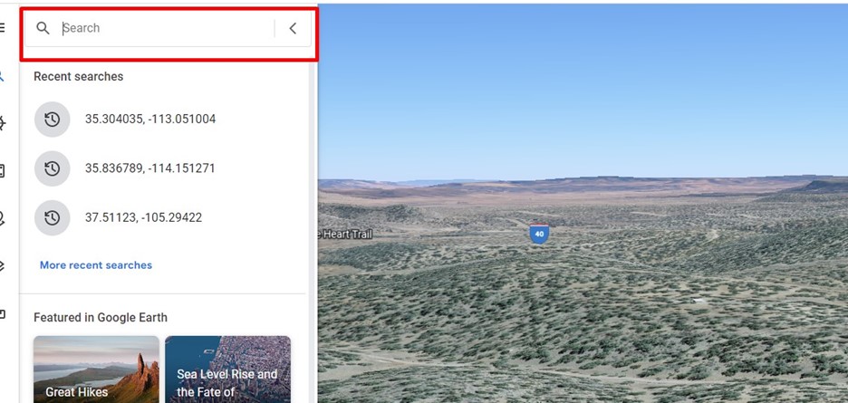
This gives you a pretty great aerial view and it’s time to start exploring!

Checking Out the Topography

First, I hold the shift and tab buttons down–this lets me swivel my views 360degrees and get some insight into the topography and lay of the land. Here’s a quick clip of how that works:

Street View

Second, I want a view from the street. For many properties you can fly down to the road and get views as if you were driving along the street. I’ll walk you through that here:

Often times vacant land parcels do not have an exact 911 address assigned to them yet.  If your property doesn’t have an address you can use the coordinates. Don’t know them?  Send me a quick email and I can get them to you!

Find this fun and interesting-reach out and I can teach you a lot more tricks including how to see historical imagery of the land (look back in time 20+ years), evaluate the elevation changes, etc!

-Jen


CONTACT US
Intake@LandDuo.com
Call/Text 919-694-0990